Graham is fairly getting on now, he is hoping to cross the border from Austria into Slovenia on Friday 28th.
So far communication has been pretty easy, he's phoned most days. Fingers crossed the mobile signal and solar charger combo will continue!!
The weather has remained hot, with Graham drinking 5L of water one day. Due to constraints with bivying he's been staying in huttes or B&B most nights, but is now thinking that he might have to start sleeping out, if for no other reason than to get an early start in the morning, have a long siesta at lunch time and walk into the cool of the evening.
He has come across quite a few snakes in the last few days, mainly adders. the 1st couple were dead but the last few days they've been alive - and happily hissing as they slither quickly away.
He has fairly been clocking up the miles now too, last Friday he walked 32 miles...... although 5 was trying and failing to find the hutte that he was hoping to sleep in that night. After that he had a well deserved rest day - but unfortunatly no internet was near at hand.
Today he did 9000ft of assent (more than 2 x Ben Nevis!!) He is pleased with his progress as he is now managing the miles and the assent which should keep him on track to complete the walk.
He is also quite pleased with how his German has come on - perfect timing to forget it all before needing in again in several months time when he heads into Switzerland.
Heading into Slovenia there could be some extra miles as the map is a larger scale than the ones he's been using in Austria.
Thursday 27 May 2010
Sunday 23 May 2010
Some photo's from Bad Goisein to Eisenerz

The 1st sign post for the Via Alpina - A good sign amongst the many!!

A fine 'see' for a picnic

Who's that hiding there???? A common feature on the walk

The view from Weissenbach - and towards the next days walk!

Yet another picnic - one of my fav things about walking!!
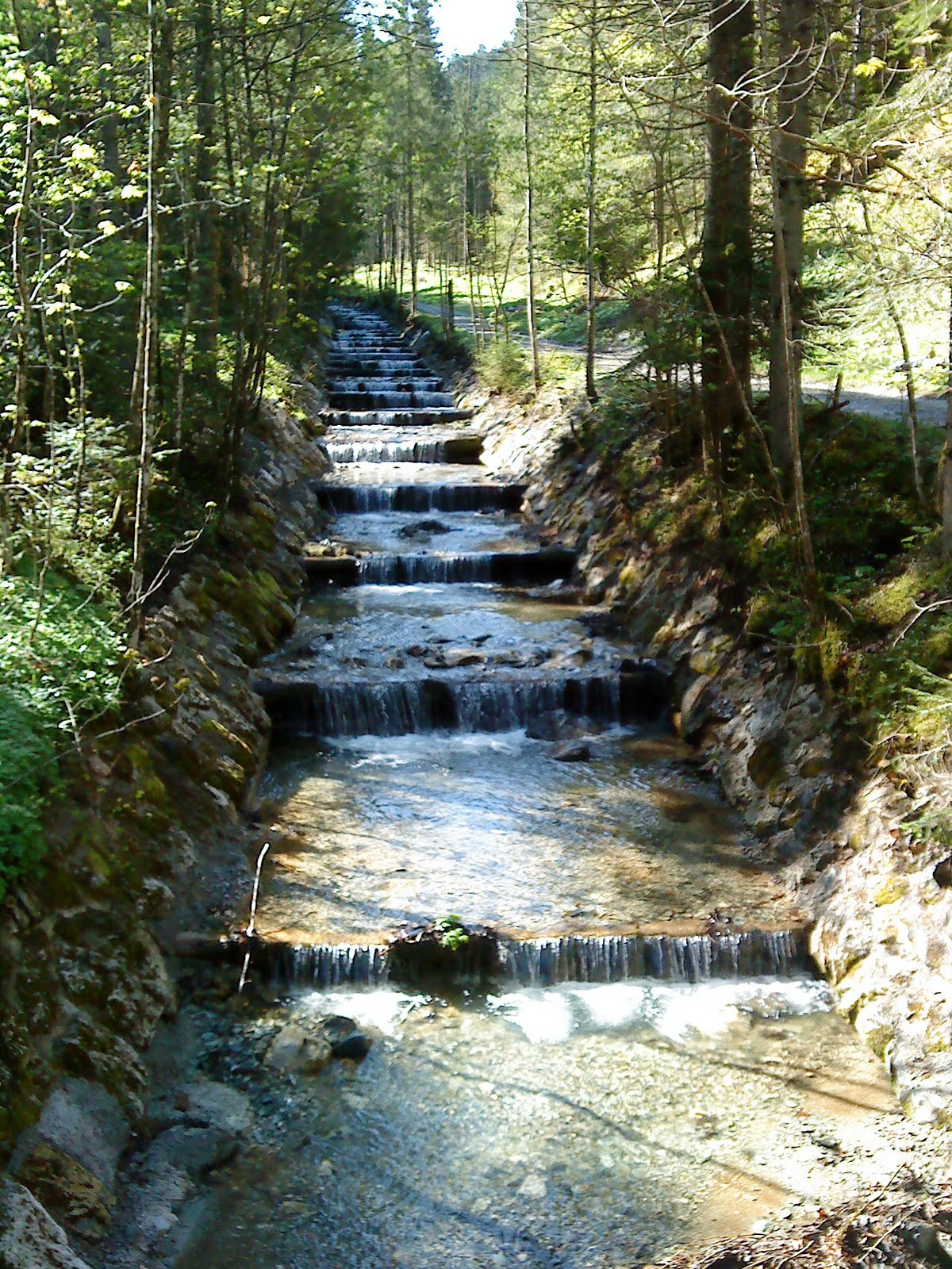
A fairly well structured stream.


A view of the eastern alps near Leoben

A lunch time stop at one of the mountain huttes, unfortunatly it was closed but we were all stocked up and able to make our own tea. Typical, just as we were heading off the guy came and opened up the hutte.............


A lunch time stop at one of the mountain huttes, unfortunatly it was closed but we were all stocked up and able to make our own tea. Typical, just as we were heading off the guy came and opened up the hutte.............

Looking back down to Radmer
Tuesday 18 May 2010
Eisernerz to Bruck
Five days further on and am at Bruck...not far from Leoben where Gill got her train 5 days ago, but properly here (having walked), rather than just on a day off to see Gill off. Unfortunately since then the weather has not been the best...has changed from just bad higher up to extremely bad at all levels!
I headed east from Eisenerz across the south side of the Hochschwab range, initially with some good views of the impressive limestone cliffs immediately above, but these soon disappearing unfortunately, leaidng to slow picking out the path in the mist where snow patches covered the markers. As the weather got worse my route followed lower routes, until I reached Seewiesen at the east end of the Hochschwab. My original idea had been to climb up from here to the east end of the plateau, and, ideally, gaze eastwards at dawn from a high bivvouac. However, by now the forecasted 130 km per hr wind with fresh snow down to 1200m was fully in evidence, so instead just took a rather misty photo from the baclony of the Seewiesen Gasthof and set off directly on my southward leg the following morning. Camping in the valley the following night tested out my tarp (10' square nylon sheet which is pitched using a walking pole at each end, not unlike a tent flysheet with open ends) in high winds, having to repitch it lower during the night. Back rather sore the following day proabably from grabbing at tarp edges as they blew away and crawling around under it very low pitched (for wind resistance). Therefore a rest day and resupply in Bruck, plus hot showers and ibuprofen, should avoid any problems.
Have covered 70 miles in about 4 days which is encouragingly close to the distances I will need to be covering, although not as much ascent or rough going yet as I will need to be capable of. Very encouragingly the fresh snow doesn't seem to have reached these hills, presumably being shielded by the higher mountians to the north and west. If feasible, I'm planning to follow the high (up to around 2000m) ridge of the Gleinalpe which runs directly southwest from here to rejoin the Via Alpina between Knittelfeld and Gaberl. From there on plan is to follwo the Via Alpina more closely, depending on weather conditions and degree of waymarking, we shall see...
Bad Gosiern to Eisenerz
First 2 weeks complete and Gill has headed home for the UK leaving me to continue by myself (second entry to follow if connection is fast enough to exceed my supply of euro pieces). Sucessful start to the trip...have covered 100 + miles, not yet as many per day as I will need to, but of course this was the start of the building up of fitness. The route taken was a bit varied, down to early spring conditions and various other reasons as follows. We started on the Via Alpina, but soon diverged southwards where scrambly sections were covered in snow and bad weather. Our route followed the south side of the Totes Gebirge range to rejoin the Via Alpina near Spital am Pyhrn...but soon departed from it again for my planned detour to the Hochshwab, heading east along the southern edge of the Gesäuse national park to reach Eisenerz.
Various excitements were had. As well as extra miles spent retreating from snow covered passes, landslides were an occasional early season feature. The first time we discovered this was following the Geo Trail along the south shore of the Grundlsee...it seemed a bit unusual in Austria that there were no signposts for it, and sure enough this was becasue they had been taken down - you could get most of the way along before reaching the impassable, half collapsed bridge, so back again and round the other side instead. The second occasion we fortunately met a friendly local who advised in advance to take the forest road instead of the path, so avodied any problems. Instead came across forest work closures (big dangerous machines) and hunting (or deer breeding) restrictions(large fences) which again added some miles to the trip.
On the whole though very pleasant and we got to where we were trying to get to. The weather was not often good enough to see the high mountains, but was not too wet lower down. Pleasant walking along a mix of paths and forest tracks with an occasional glimpse of limestone cliffs above on some days.
We had pushed on without any rest days, being a bit nervous of the weather and with Gill not wanting to miss her flight and be potentially enlisted for the full trip. We therefore ended up with 2 spare days at the end. In Eisenery (the Llanberis of the Alps) the quarry was having a celebration of their 250 million th ton of iron...included free large explosion (one only), food (although a bit of a fight at the counter) and beer (as much as you managed to scrounge free tokens). The following day we decamped to Leoben (time out for me) to make doubly sure Gill could get her train and for a day at the pool - sauna. The following day Gill departed and I retruned to Eisenerz, and pouring rain.
Sunday 16 May 2010
To the start of the walk
 What a great couple of weeks to start the walk! The plan has changed slightly from the original idea, as Graham was so close to the east side of the Alps he thought he would head to the most eastern Alps and take in a summit, this is only an extra 4 days or so (and a few extra miles of distance and accent) on top of the Via Alpina.
The weather was pretty good to us most of the time, the sun was often out and we only got rained on a couple of times. By the time i left I think Graham had only worn his waterproof jacket once and the trousers had never even been out the bag. The 'chrome dome' or umbrella as it might be more commonly known, has been a good investment so far, both for sheltering from the rain and more often from the sun.
We flew out to Munich on 1st May, then got the train to Salzberg, where we stayed overnight before getting the train on to Bad Goisein on the sunday morning. We headed to the centre of town, the official starting point of the walk. Graham started walking about 11.45 on 2nd May.

Subscribe to:
Posts (Atom)